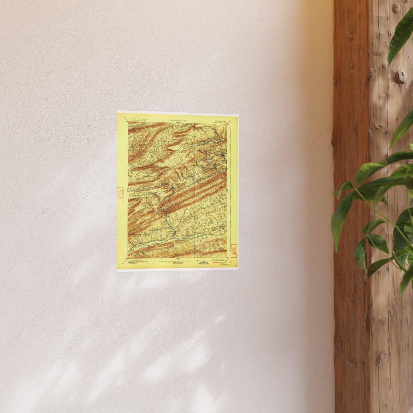
The 1892 edition of the USGS Pine Grove quadrangle (15-min (1:62,500)). Covers the southwestern county around Pine Grove and the Swatara drainage, including the southern edge of the anthracite field.
Look for: Pine Grove, Swatara Creek, Tremont, southern coal field.
Printed to order on archival, acid-free matte stock with a small white border for easy framing. Reproduced from a high-resolution public-domain scan.
Your purchase supports the free Schuylkill County map archive at schuylkillhub.com.
Source & credit: U.S. Geological Survey. Pine Grove Quadrangle, Pennsylvania, 1892 ed. Historical Topographic Map Collection.