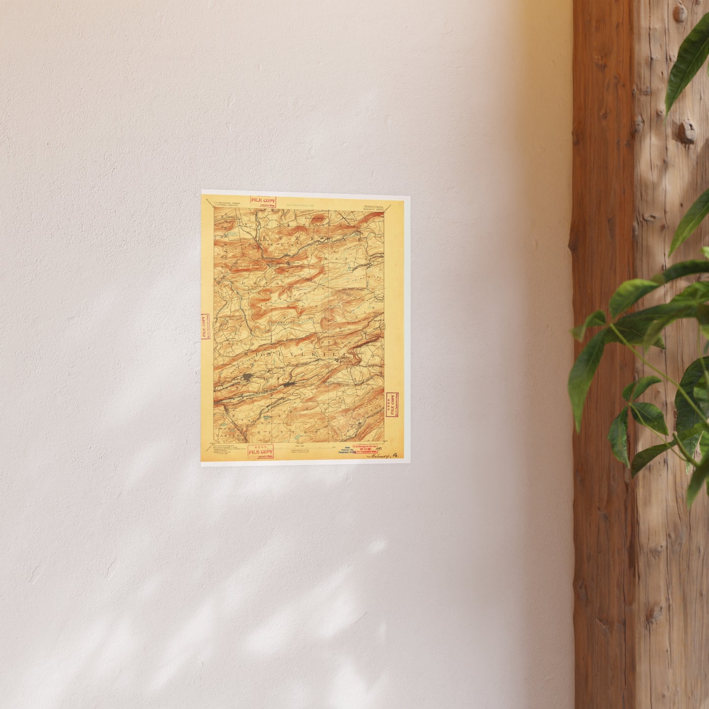
The 1893 edition of the USGS Mahanoy quadrangle (15-min (1:62,500)). Covers the Mahanoy City / Shenandoah mining district. The 1890s editions show the collieries, breakers, and rail spurs of the central coal field.
Look for: Mahanoy City, Shenandoah, Gilberton, breakers, rail spurs.
Printed to order on archival, acid-free matte stock with a small white border for easy framing. Reproduced from a high-resolution public-domain scan.
Your purchase supports the free Schuylkill County map archive at schuylkillhub.com.