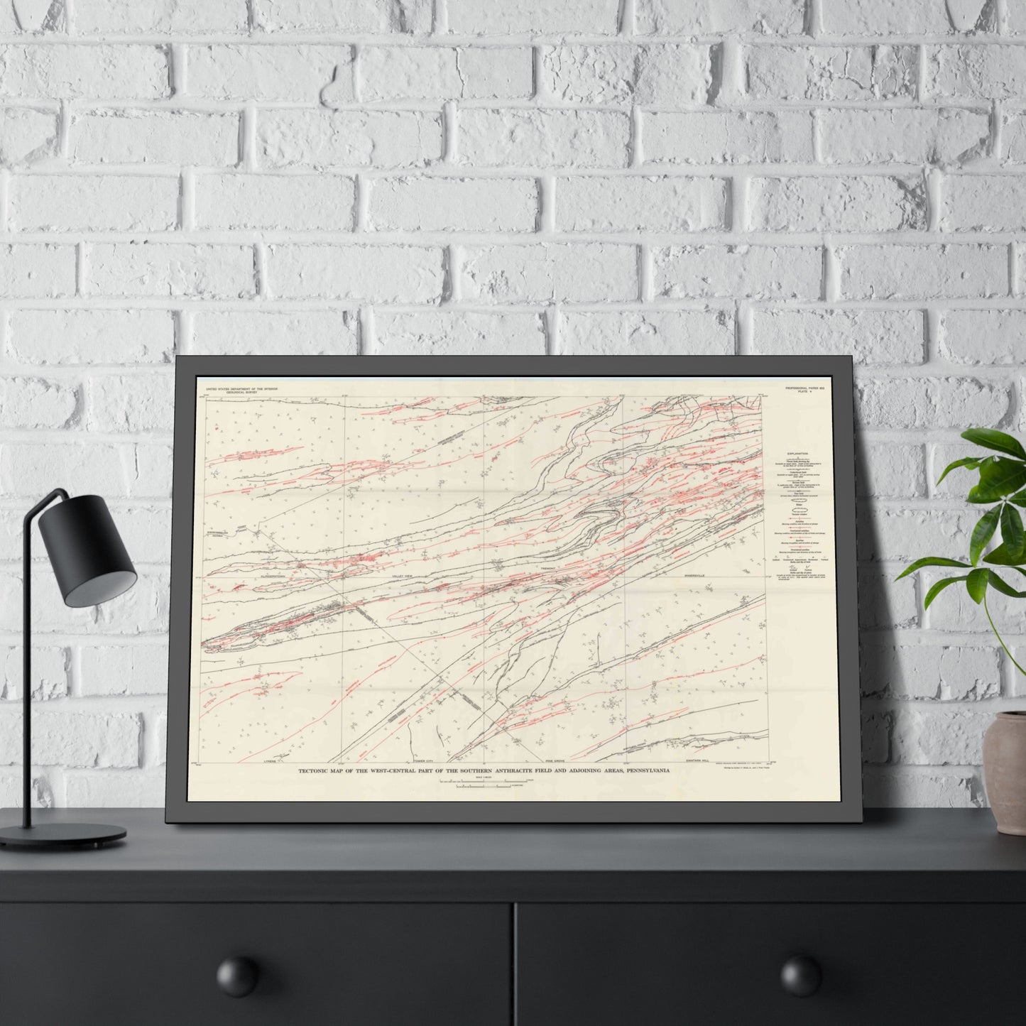
A USGS geological study (Wood, Trexler & Kehn) directly covering the Southern Anthracite field, which includes much of Schuylkill County. Includes detailed geologic plates showing coal beds, structure, and the anthracite measures. Public domain and safe to host or hot-link (report.pdf; plate-1 through plate-4.pdf).
Printed to order on archival, acid-free matte stock with a small white border for easy framing. Reproduced from a high-resolution public-domain scan.
Your purchase supports the free Schuylkill County map archive at schuylkillhub.com.
Source & credit: Wood, G. H., Trexler, J. P., and Kehn, T. M. Geology of the West-Central Part of the Southern Anthracite Field. USGS Professional Paper 602, 1969.